Port Elba
Elba, Italy
2025
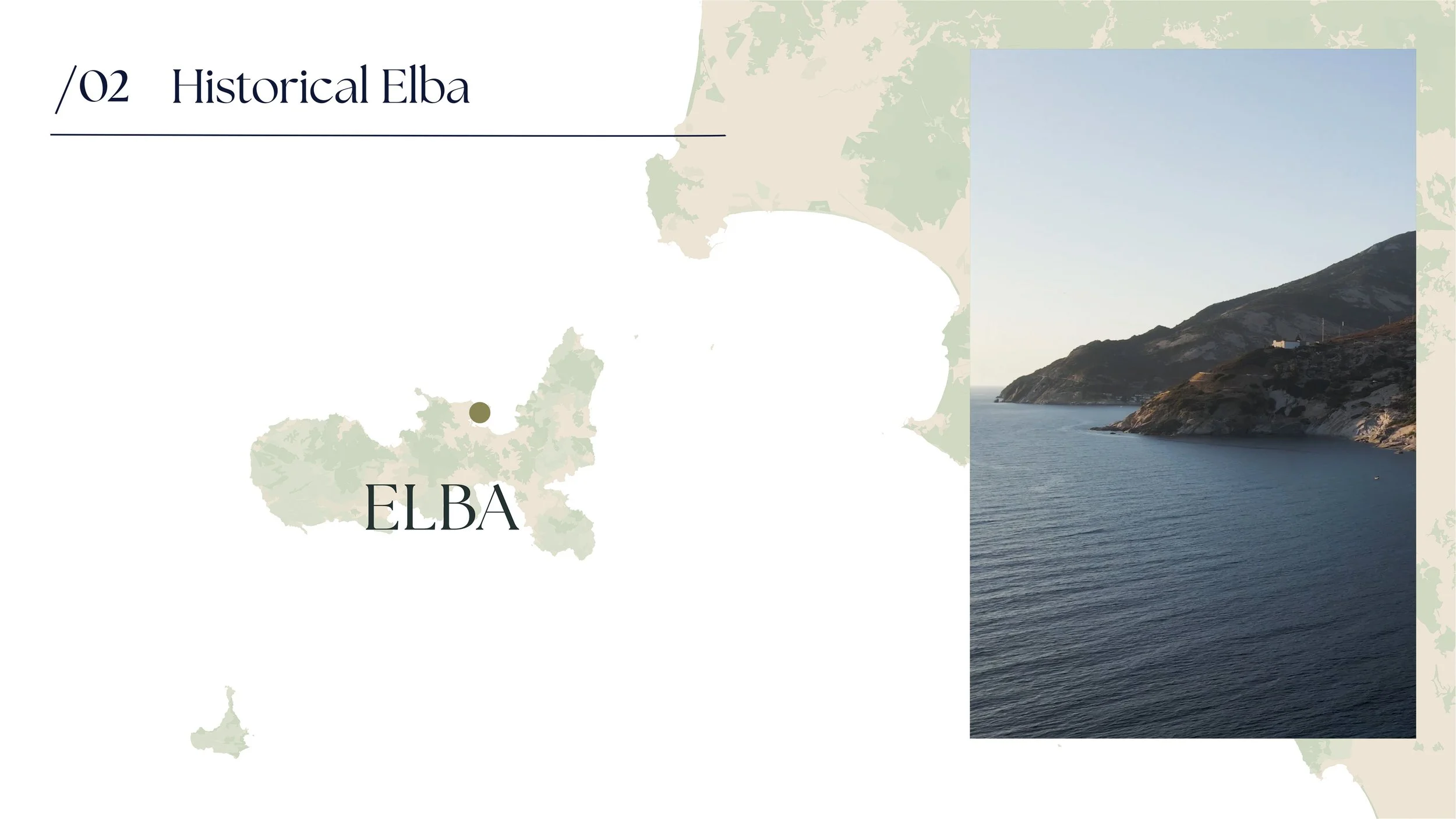
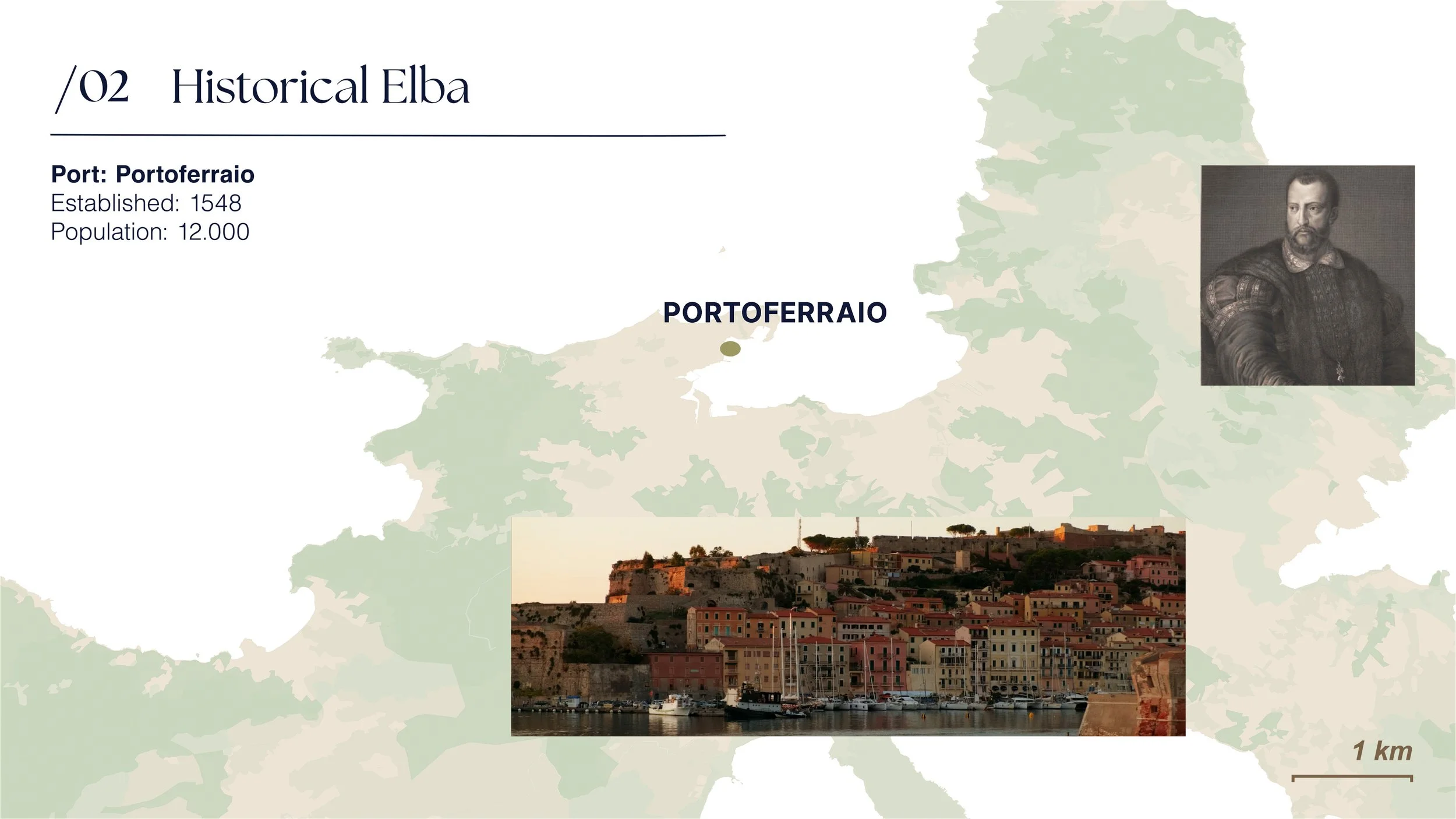
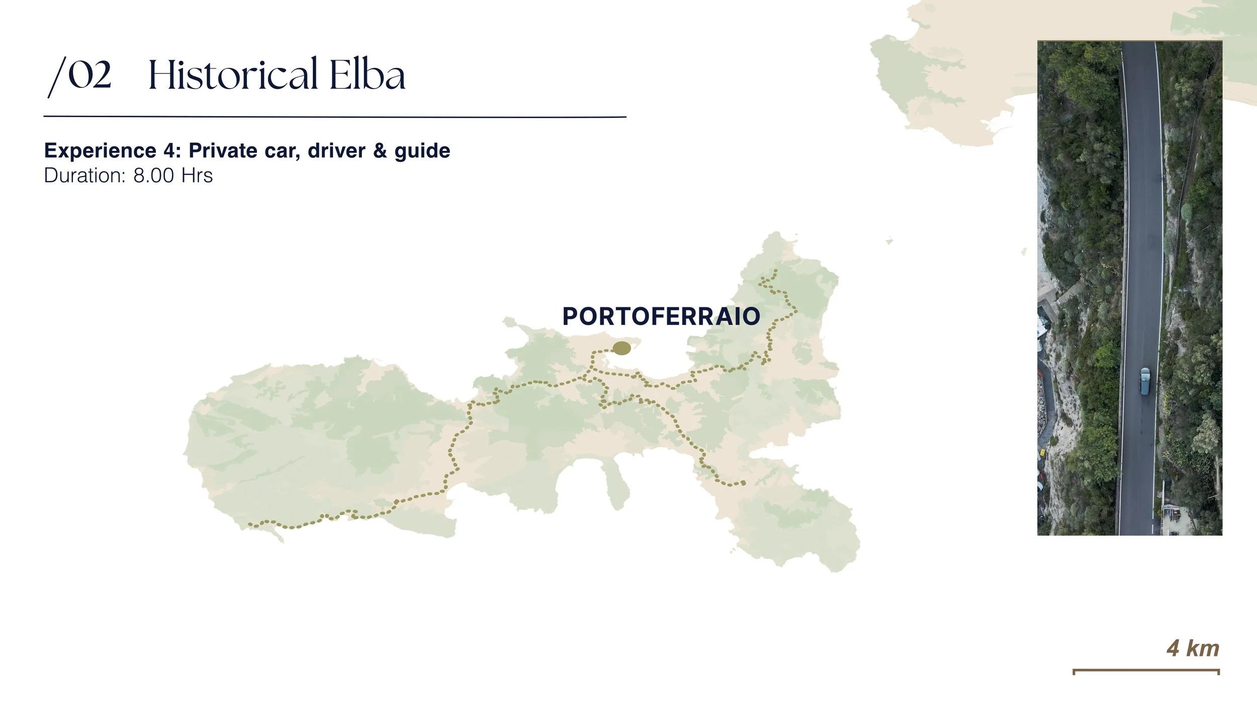
A subtly color-toned map paired with vibrant stock imagery offers a clear and engaging overview of port excursions across the island of Elba. The island’s green landscapes are gently highlighted, drawing attention to the key destinations featured in the day's itinerary.
Dynamic camera movements, layered transitions, and animated call-outs work together to effectively communicate the island’s overall layout and highlight the main port of Portoferraio.
An AI-generated voiceover provides a consistent tone and rhythm, aligned with the visual narrative. Designed to be modular, the content integrates easily into cruise websites, booking tools, personalized marketing, onboard information systems, and crew training—enhancing both guest engagement and internal alignment.
-
![]()
01
-
![]()
02
-
![]()
03
-
![]()
04
-
![]()
05
-
![]()
06
-
![]()
07